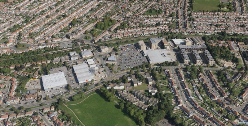
Honeypot Lane is a 8.24 hectare site containing:
- a number of small industrial units
- a Morrisons Superstore and petrol station, and
- two larger retail warehouses.
Honeypot Lane is a 8.24 hectare site containing:

Honeypot lane boundary map
In accordance with the Local Plan, the whole site will be subject to a masterplan process to comprehensively identify how it can increase useable industrial floorspace and deliver approximately 200 additional homes to the 200 homes recently delivered.
In doing so we aim to deliver:
The council has prepared masterplans for other areas including Neasden (2022), Church End (2023) and Staples Corner (2024).